
Page 414 - The Rough Guide to Myanmar (Burma)
P. 414
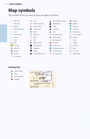
412  MAP SYMBOLS
        Map symbols

        The symbols below are used on maps throughout the book

             Main road      Statue          Paya/pagoda/monastery  Parking
             Minor road     National park/reserve  Buddha statue  Boat/ferry
             Highway        Point of interest  Tower        Vineyard
             Pedestrianized road  Internet access  Monument  Hot spring
             Steps          Garden          Cave            Swimming pool
             Unpaved road   Golf course     Escarpment/ridge  Church/cathedral
             Railway        Bridge          Mountain peak   Building
             Path           Ruin            Mountain range  Market
             Wall           Border crossing  Viewpoint      Stadium
             Post office      Chinese temple  Petrol station  Park/forest
             MTT office       Synagogue       International airport  Beach
             Hospital       Mosque          Domestic airport  Cemetery
             Embassy        Hindu temple/gurdwara  Bus/taxi/pick-up  Swamp/Marsh
             Gate/entrance


        Listings key

             Accommodation
                          UNION HIGHWAY  NH4
             Eating             KBZ
                                Bank  Market
             Drinking/nightlife
                                  Aung Chan
             Shopping             Tha Zedi
                         Eagle Trekking  A1 Trekking
                                  Pick-ups to Taunggyi  STATION STREET
                            YATANA           STREET
                         Sam’s Family  ZAW TIKA ST
                               AUNG  CHAN            THA STREET


   403-416_Myanmar_B2_Index.indd   412                         30/06/17   4:07 pm