
Page 216 - 9 teachers social book 9 @ 2077 ctp_Neat
P. 216
iv. Cadastral Map
Cadastral maps are
those maps which are drawn
to show the ownership of
land showing the boundaries
of field, along with Rural
Municipality, districts,
provincial states, etc. The
village map, plot of land
(kitta), etc. are shown in
cadastral maps. It is useful
for land survey, city survey
for efficient administration.
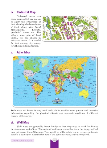
v. Atlas Map
Such maps are drawn in very small scale which provides more general and tentative
information regarding the physical, climate and economic condition of different
regions of the earth.
vi. Wall Map
Wall maps are generally drawn boldly so that they may be used for display
in classrooms and offices. The scale of wall map is smaller than the topographical
map but bigger than Atlas map. They might be of the whole world, certain continent,
specific a country of a particular part of the country or any scale as required.
Dynamic Social Studies - Book IX 216