
Page 30 - Social Studies 7
P. 30
The major Peaks are Mt. Kanjirowa
(6, 612 m), Mt. Kanti (6,859 m), Mt.
Gorakh (6,088 m), Mt. Changla (6,563),
etc. Rara National Park and Shey-
Phoksundo National Park are two major
parks and also tourist destinations.
Other central of attractions are Rara
lake, Shey- Phoksundo lake etc. Badi
Malika, Deuti Bajai and Chandannath
temple are some religious sites of this
region. There are airports in Surkhet,
and Jumla too.
Major Ethnic groups are the Bhotes,
the Magars, the Tharus, including the
Thakuris, the Kamis, the Dashnamis/
Sanyasis, the Brahmins, the Chhetris,
the Dholis etc. The literacy rate is 62.77%. The major sources of income are
agriculture, tourism and natural resources.
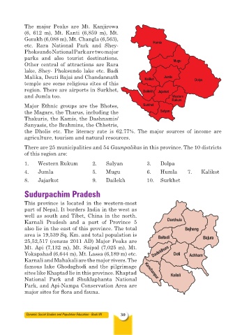
There are 25 municipalities and 54 Gaunpalikas in this province. The 10 districts
of this region are:
1. Western Rukum 2. Salyan 3. Dolpa
4. Jumla 5. Mugu 6. Humla 7. Kalikot
8. Jajarkot 9. Dailekh 10. Surkhet
Sudurpachim Pradesh
This province is located in the western-most
part of Nepal. It borders India in the west as
well as south and Tibet, China in the north.
Karnali Pradesh and a part of Province 5
also lie in the east of this province. The total
area is 19,539 Sq. Km. and total population is
25,52,517 (census 2011 AD) Major Peaks are
Mt. Api (7,132 m), Mt. Saipal (7,025 m), Mt.
Yokapahad (6,644 m), Mt. Lassa (6,189 m) etc.
Karnali and Mahakali are the major rivers. The
famous lake Ghodaghodi and the pilgrimage
sites like Khaptad lie in this province. Khaptad
National Park and Shuklaphanta National
Park, and Api-Nampa Conservation Area are
major sites for flora and fauna.
Dynamic Social Studies and Population Education - Book VII 30