
Page 19 - Bi-National Socioeconomic Handbook 2020 Laredos Region
P. 19
WEATHER
Soil and Atmospheric Conditions
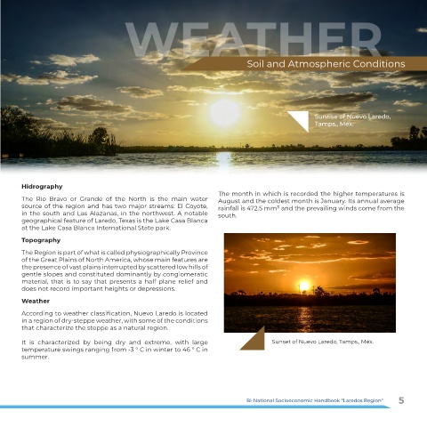
Sunrise of Nuevo Laredo,
Tamps., Méx.
Hidrography
The month in which is recorded the higher temperatures is
The Rio Bravo or Grande of the North is the main water August and the coldest month is January. Its annual average
source of the region and has two major streams: El Coyote, rainfall is 472.5 mm³ and the prevailing winds come from the
in the south and Las Alazanas, in the northwest. A notable south.
geographical feature of Laredo, Texas is the Lake Casa Blanca
at the Lake Casa Blanca International State park.
Topography
The Region is part of what is called physiographically Province
of the Great Plains of North America, whose main features are
the presence of vast plains interrupted by scattered low hills of
gentle slopes and constituted dominantly by conglomeratic
material, that is to say that presents a half plane relief and
does not record important heights or depressions.
Weather
According to weather classification, Nuevo Laredo is located
in a region of dry-steppe weather, with some of the conditions
that characterize the steppe as a natural region.
It is characterized by being dry and extreme, with large Sunset of Nuevo Laredo, Tamps., Méx.
temperature swings ranging from -3 ° C in winter to 46 ° C in
summer.
Bi-National Socioeconomic Handbook “Laredos Region“ 5