
Page 14 - GeoPRISMS_Newsletter_Spring2019_42_Neat
P. 14
Report from the Field
HT-RESIST
Hikurangi Trench Regional
Ectromagnetic Survey to
Image the Subduction Thrust
Christine Chesley with Samer Naif and Kerry Key
LDEO, Columbia University
ecause New Zealand’s north island lies at the juncture between the converging
Pacific and Indo-Australian plates, it is not surprising that the area experiences
Bearthquakes. A unique feature of the Hikurangi margin, the name of New
Zealand’s subduction zone, is that its earthquake slip behavior varies from north to south
along strike. The northern Hikurangi margin is characterized by shallow slow slip events
(SSEs) and weak seismic coupling while the southern margin exhibits deeper SSEs and
stronger coupling. The host of other properties that change along this subduction zone
have motivated the question, “What controls the along-strike variation in megathrust
behavior at the Hikurangi margin?”
One key element of this question lies in quantifying the porosity and fluid budget along
the margin. Marine electromagnetic (EM) methods are well-suited for imaging fluids
and fluid pathways within the lithosphere. Of course, a major caveat to any geophysical
survey of convergent margins is the challenge of collecting good data on the seafloor
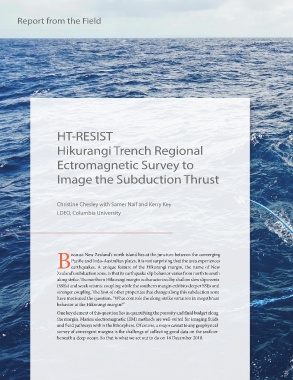
beneath a deep ocean. So that is what we set out to do on 16 December 2018.