
Page 201 - Elementary_Linear_Algebra_with_Applications_Anton__9_edition
P. 201
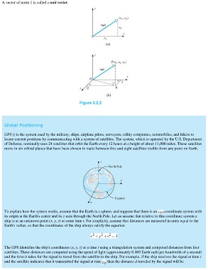
A vector of norm 1 is called a unit vector.

                                                           Figure 3.2.2

 Global Positioning

 GPS () is the system used by the military, ships, airplane pilots, surveyors, utility companies, automobiles, and hikers to
 locate current positions by communicating with a system of satellites. The system, which is operated by the U.S. Department
 of Defense, nominally uses 24 satellites that orbit the Earth every 12 hours at a height of about 11,000 miles. These satellites
 move in six orbital planes that have been chosen to make between five and eight satellites visible from any point on Earth.

 To explain how the system works, assume that the Earth is a sphere, and suppose that there is an -coordinate system with
 its origin at the Earth's center and its z-axis through the North Pole. Let us assume that relative to this coordinate system a
 ship is at an unknown point (x, y, z) at some time t. For simplicity, assume that distances are measured in units equal to the
 Earth's radius, so that the coordinates of the ship always satisfy the equation

 The GPS identifies the ship's coordinates (x, y, z) at a time t using a triangulation system and computed distances from four
 satellites. These distances are computed using the speed of light (approximately 0.469 Earth radii per hundredth of a second)
 and the time it takes for the signal to travel from the satellite to the ship. For example, if the ship receives the signal at time t
 and the satellite indicates that it transmitted the signal at time , then the distance d traveled by the signal will be