
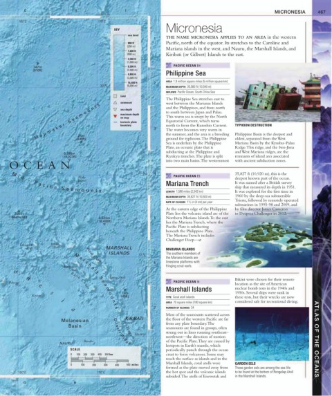
Page 469 - (DK) Ocean - The Definitive Visual Guide
P. 469
G H I MICRONESIA 467
160˚E 170˚E
Micronesia
KEY
sea level
1 THE NAME MICRONESIA APPLIES TO AN AREA in the western
800 ft Pacific, north of the equator. Its stretches to the Caroline and
(250 m)
Mariana islands in the west, and Nauru, the Marshall Islands, and
1,600 ft
(500 m) Kiribati (or Gilbert) Islands to the east.
3,300 ft
(1,000 m)
247m 6,500 ft PACIFIC OCEAN B4
(810ft) (2,000 m)
9,800 ft Philippine Sea
(3,000 m)
AREA 1.9 million square miles (5 million square km)
16,400 ft 2
30˚N (5,000 m) MAXIMUM DEPTH 35,580 ft (10,540 m)
INFLOWS Pacific Ocean, South China Sea
land
The Philippine Sea stretches east to
seamount west between the Marianas Islands
M a p m a k e r S e a m o u n t s maximum depth 3 to south between Japan and Palau. TYPHOON DESTRUCTION
and the Philippines, and from north
sea depth
This warm sea is swept by the North
on map
Equatorial Current, which turns
tectonic plate
north to form the Kuroshio Current.
boundary
The water becomes very warm in
the summer, and the area is a breeding
73m
ground for typhoons. The Philippine
oldest, separated from the West
(240ft)
Sea is underlain by the Philippine Philippine Basin is the deepest and
Mariana Basin by the Kyushu–Palau
Plate, an oceanic plate that is Ridge. This ridge, and the Iwo-Jima
subducting at the Philippine and and West Mariana ridges, are the
5,798m
(19,023ft) Ryukyu trenches. The plate is split remnants of island arcs associated
into two main basins. The westernmost with ancient subduction zones.
OCEAN
20˚N 4 35,827 ft (10,920 m), this is the
Wake PACIFIC OCEAN E5 deepest known part of the ocean.
Island
Mariana Trench It was named after a British survey
ship that measured its depth in 1951.
M i d - P a c i fi c S e a m o u n t s
LENGTH 1,580 miles (2,542 km) It was explored for the first time in
MAXIMUM DEPTH 35,827 ft (10,920 m) 1960 by the deep-sea submersible
Trieste, followed by remotely operated
RATE OF CLOSURE 1 / 2 in (4 cm) per year
1
submarines in 1995-98 and 2009, and
At the eastern edge of the Philippine by film director James Cameron
Zubov Plate lies the volcanic island arc of the in Deepsea Challenger in 2012.
Seamount 5,623m 5 Northern Mariana Islands. To the east
(18,499ft) lies the Mariana Trench, where the
Pacific Plate is subducting
beneath the Philippine Plate.
The Mariana Trench includes
Challenger Deep—at
Enewetak Bikini
Atoll Atoll MARSHALL MARIANA ISLANDS
ISLANDS 10˚N The southern members of
the Mariana Islands are
M a
r
Ratak Chain
6
s limestone platforms with
Kwajalein h a fringing coral reefs.
o Atoll l
l
n S Majuro Atoll Bikini were chosen for their remote
Pohnpei Ralik Chain e PACIFIC OCEAN I6 location as the site of American
e a
Marshall Islands nuclear bomb tests in the 1940s and
m
s o 15m 1950s. Several ships were sunk in
Kosrae u (49ft) TYPE Coral atoll islands these tests, but their wrecks are now
i n considered safe for recreational diving.
AREA 70 square miles (180 square km)
t
7 NUMBER OF ISLANDS 34
s
a
Most of the seamounts scattered across
KIRIBATI the floor of the western Pacific are far
Melanesian
Tarawa from any plate boundary. The
Basin seamounts are found in groups, often
strung out in lines running southeast–
Equator
northwest—the direction of motion
Tungaru
Banaba of the Pacific Plate. They are caused by ATLAS OF THE OCEANS
NAURU
G i l b e r t R i d g e
hotspots in Earth’s mantle, which
SCALE periodically punch through the ocean
8
0 100 200 300 400 500 km crust to form volcanoes. Some may
reach the surface as islands and in the
Marshall Islands, coral atolls were GARDEN EELS
0 100 200 300 400 500 miles
formed as the plate moved away from These garden eels are among the sea life
160˚E 170˚E the hot spot and the volcanic islands to be found at the bottom of Rongelap Atoll
subsided. The atolls of Enewetak and in the Marshall Islands.
G H I